| Home |
| Current Research |
| Graduate Students / Post Docs |
| Biologists / Technicians |
| Interns / Volunteers |
| Publications |
| Links |
| Our ftp site |

Annual Census of Southern Sea Otters How stable are sea otter populations along the coast of California? |
|
  |
|
|
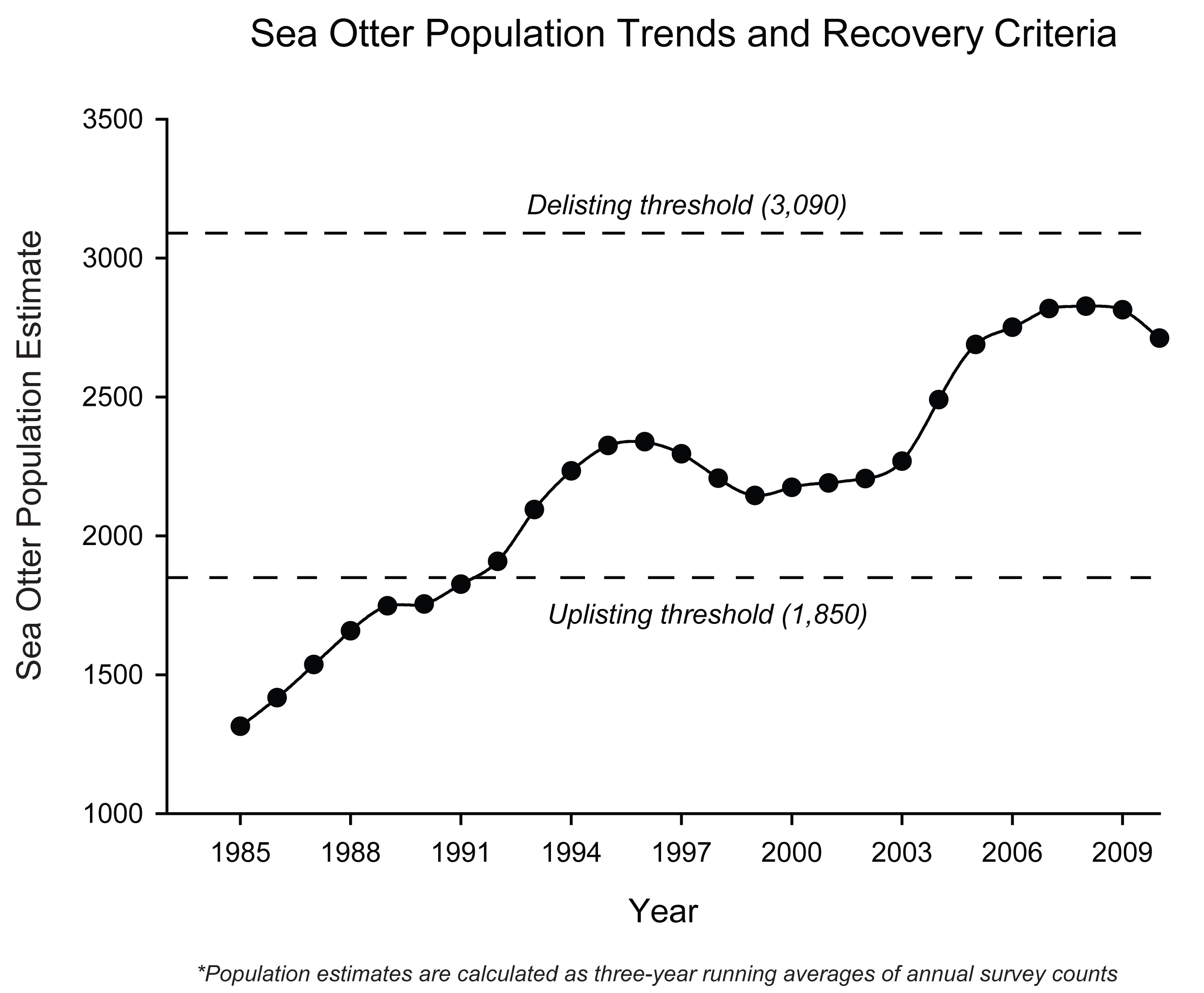
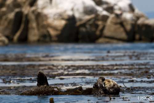
A standardized method to survey sea otters was developed by WERC scientists and put into use in 1982 in California. Survey procedures involve counting animals twice annually, in early autumn and late spring. The surveys, (conducted cooperatively by scientists of the U.S. Geological Survey, California Department of Fish and Game, U.S. Fish and Wildlife Service and Monterey Bay Aquarium with the help of experienced volunteers) cover about 375 miles of California coast, from Half Moon Bay south to Santa Barbara. Two-person teams use binoculars and spotting scopes to count individuals from accessible stretches of coastline and from fixed-wing aircraft in the remaining areas. The counts made from shore are plotted on maps and entered into a spatial database. The aerial counts are entered directly into a geographic information system-linked database in the aircraft. The survey records the total otter numbers, the number of dependent pups, and the number of independents observed. These data, in conjunction with findings from several more in-depth studies provide the necessary information to assess female reproductive rates and changes in reproductive success of the California sea otter population through time. Spring survey results are used as an indicator of the population trend of California sea otters. To reduce the influence of anomalously high or low counts during any particular year, three-year running averages of the survey results are used to assess whether the population is growing or declining. Factors that can influence the count include viewing conditions, abundance and species composition of surface canopy kelp, observer experience, and distribution and movements of the animals. |
Contact Us: USGS Santa Cruz Field Station - 100 Shaffer Road - Center for Ocean Health - Room 251 - Santa Cruz, CA 95060 - 831 459-2357